SLOPEz for MapInfo

SLOPEz for MapInfo
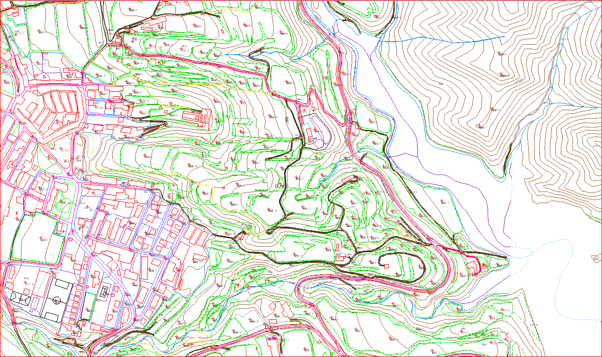
SLOPEz is designed to capture elevations from a variety of tables: grids, contour lines and intermediate points, other vector objects with Z values (tipically CAD files: *.dgn, *.dwg, *.dxf, ..., and some *.shp) whether they are points, cells, plane curves (2D), or polylines with varied elevation (3D). Also, most WMS connections with Z information can be read automatically.
Altitudes may be read from tables/WMS or entered by hand as meters or feet. Results also may be expressed as meters or feet. User may define a working directory where temporary and final tables will be saved. Configuration settings may be exported and imported in *.txt format. The application shows results, warnings and advices in the Message window of MapInfo Pro. Various help screens are available in many dialogues from a more extensive help document with examples and information about the tables and how the program operates internally.
Almost all parameters and selection settings can be saved/load to/from a Configuration text file. A Working Directory can be set where to save temporary tables and results. Each utility has its help, that are part of a profuse help/manual document. The application includes a "Licensig" routine to order and enter license code (see below).
The SLOPEz application was written as version 1.0 in August 2011 for the personal use of the author, then it only had the slope calculation tool for single lines, not polylines. It was not advertised, although for more than 10 years it was successfully applied to work on the layout of rural roads, calculation of slopes of river courses and preliminary design of embankments, among many other topics. Very small improvements were developed during this long period of time keeping the application very unfriendly user interaction, which required continuous operations outside the application.
In 2022 the decision is made to develop the application to offer it to the general public among MapInfo Pro users; the complete development of the application with version 2.0 begins in February 2022.
Up to this version, the introduced innovations have been:
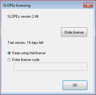
SLOPEz is a license protected application. The user can use the full application for a trial period of 14 days. Users who are in the trial period may request a special code with which they can extend the evaluation period for 7 days in exchange for some feed-back.
Regular licence has a price of €50 excluding VAT . Special offer for students: €30 excluding VAT. Students must justify their student status, for example with a copy of their course registration sent to the author's email, for which they will receive a special promotional code with which the appropriate discount will be applied.
Licenses do not have an expiration date. Licenses may be moved from the first computer to another computer but only one computer may execute a license at a time. Each license supports both the 32-bit and 64-bit versions of SLOPEz, or both, on the same computer.
SLOPEz has been written in MAPBASIC 15.0 for MapInfo Pro 32-bit, but it has been adapted to run on MapInfo 64-bit. The difference lies in the ability to make graphs. Chart options are not available for MapInfo Pro 16, 64-bit, and later. SLOPEz is designed to run on Windows only, it has been tested in Windows 7 and 10.
The application has been developed on Windows 7 Ultimate 64-bit with 32 Gb of installed memory, i5-2400 4-core processor at 3.10 GHz, running MapInfo Professional 15.0 32-bit. It has been successfully tested to work on MapInfo 16.0 (64-bit).
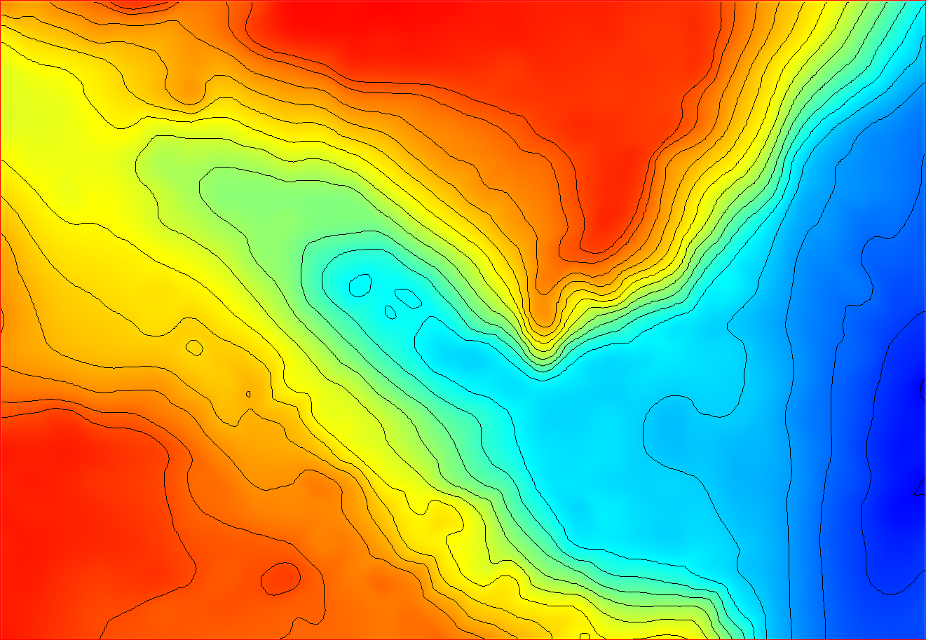
Calculation of average slope of area from grids, hypsometries of areas from contour lines, and calculation of shadows are the processes that require more resources.
Minimum recommended is 64 bit 2-core processor and 8Gb RAM.
Users may download a ZIP file from a link below. After download, it must be saved and extracted in a TOOL directory whichever is the name and the drive. All the files inside have to be kept together.

The hole application is composed by three MapBASIC compiled files (.MBX), three Dynamic Link Library files (.DLL) with icons and file functions, and a manual/help compiled file (.CHM). Some chart template files (.3TF) are included for SLOPEz 32-bit, but ommited in SLOPEz 64-bit. One .PDF file, mainly the same as the .CHM file with some format modifications and reduced images.
First thing to do is to load SLOPEz_launcher.MBX as a tool. SLOPEz_launcher.MBX is version dependent; so, each upgrade must replace this file with the new one. The SLOPEz app is initially presented as a launcher button: This button is located on the "Tools" button bar (in 32-bit MapInfo), or on the <LEGACY> ribbon in 64-bit MapInfo. It can be loaded automatically when MapInfo Pro is started by registering SLOPEz_launcher.MBX in the application manager, or in the >HOME>Tool Extensions> tab. In addition, a menu item is created that also acts as a launcher..
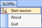
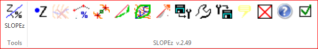
Clicking the launcher button starts a work session and displays the main SLOPEz module as a set of buttons, a floating buttonpad that in 32-bit versions of MapInfo can be snapped into the top or side button bars , simply dragging it to the destination bar.
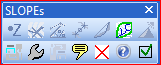
In the 64-bit version it is shown in the LEGACY tab as a string of icons following the previous launcher icon.
If you are a registered user you will have received a license code which you must enter in the [SLOPEz licensing] dialog.
You can have more than one version installed on the same PC, one licensed version and at the same time evaluating the most current version. To do this, they must be installed in a different directory; but installing the new version in the old version's directory, the old license will be removed. If this happens contact the developer to restore the license or get a new one.
Consequently, SLOPEz 32-bit and SLOPEz 64-bit can be run on the same computer with a single license; contact the developer to find out how.
created with
Website Builder Software .